
Map of Ireland showing the Counties and historical Provinces,
excluding the four administrative sub-counties of Dublin
and the two Ridings of Tipperary.
To use this map as a Megalithic Gazetteer,
click on a county for details of selected monuments.
see note below on 1:50,000 maps
To use this map as a Megalithic Gazetteer,
click on a county for details of selected monuments.
press the
<<BACK<<
button of your browser to return to the text
|
A note on the Irish 1:50,000 maps.
Although the Irish Grid covers the whole island,
Northern Ireland's Discover er maps do not mark all megaliths, though they do mark some megaliths in areas of the Republic which they cover. Tombs tend to be anachronistically labelled Chambered Grave in Gothic script.
A few of the map references may be slightly inaccurate.
|
press the
<<BACK<<
button of your browser to return to the text
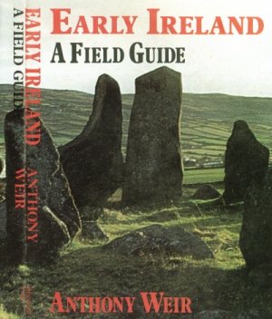
Photos and text anti-copyright by
Anthony Weir, whose
EARLY IRELAND: A FIELD GUIDE
was published in 1980, quickly sold out,
and was never reprinted.